

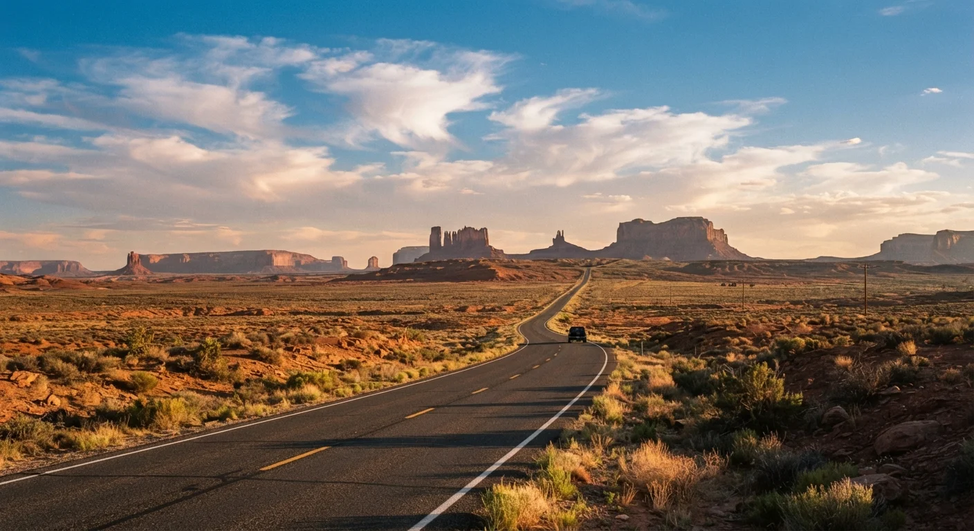
Why the Southwest Fools First-Time Road Trippers
Look at a map and the route from Las Vegas to the Grand Canyon's South Rim appears casual — roughly 280 miles. Add Monument Valley, Zion, and Bryce Canyon, and suddenly you're looking at 600–700 miles of driving before accounting for side roads, detours into park interiors, or the time it takes to actually stop and experience anything. The Southwest is enormous, and its scale is one of the most consistent surprises for first-time visitors.
Terrain compounds the challenge. Highways cut through high desert plateaus, narrow canyon switchbacks, and elevation changes that can exceed 5,000 feet in a single day's drive. Speed limits drop inside national parks, unpaved scenic roads add time, and two-lane state routes — while beautiful — rarely allow passing. A 60-mile stretch between Kanab, Utah, and Page, Arizona, for example, can take well over an hour depending on conditions and stops.
Before you start booking anything, read through this planning framework so your itinerary reflects the real geography — not the optimistic one.
What You Need Before You Start
What you will need
Recreation.gov account
Required to enter permit lotteries and book campsites at federal lands across the Southwest.
Offline map app
Provides navigation in areas with no cell service, which covers large portions of the Southwest.
America the Beautiful Annual Pass
Covers entrance fees at all national parks and federal recreation areas for one year from date of purchase.
Portable battery pack / power bank
Keeps your phone charged for navigation and emergency contact during long remote stretches.
Paper road atlas or printed route notes
Backup navigation if your phone dies or apps malfunction in no-service zones.
Planning Your Route Step by Step
Choose a realistic geographic anchor for your trip
Pick one central hub — Las Vegas, Phoenix, Salt Lake City, or Albuquerque — based on where you're flying into. Resist the urge to loop through all four. Each hub gives you access to a distinct cluster of parks and sites. Las Vegas is the most common starting point and puts Zion, Bryce, the Grand Canyon's South Rim, and Valley of Fire within a manageable radius.
Cap your daily driving at 250–300 miles
This is your most important planning constraint. On paper, 400 miles sounds doable in a day. In practice, a 9 a.m. park entry, a two-hour hike, a lunch stop, scenic overlooks, and gas station time means you arrive at your accommodation after dark — exhausted and having seen less than you planned. Use a mapping tool to calculate realistic drive time using the actual speed limits and road types on your route, not highway averages.
Map every fuel stop before you leave each town
In stretches like southern Utah, parts of the Navajo Nation, and the Arizona Strip, gas stations can be 60–100 miles apart. Before leaving any town, confirm your next reliable fuel source using a current road atlas or GasBuddy. Fill your tank whenever it drops below half — especially on remote two-lane routes. If your vehicle has a smaller tank (under 12 gallons), this becomes critical.
Check permit availability before finalizing any day
For any permit-dependent site on your wishlist — The Wave, Antelope Canyon, Havasupai, Coyote Gulch — go to the relevant booking system first and confirm availability for your dates. If permits aren't available, remove that location from your itinerary and replace it with an alternative. Build your route around confirmed access, not hoped-for access.
Build buffer days into your itinerary
A three-day buffer for a ten-day trip accounts for weather delays, unexpected road closures, a site that takes longer than expected, or simply wanting to stay one more night somewhere remarkable. If you use none of it, you'll have a relaxed final day. If you need it, you'll be grateful it's there. The Southwest rewards slowness more than efficiency.
Terrain, Weather, and Safety Realities
The Southwest's climate varies dramatically by elevation and season. Desert valley floors in Arizona and Nevada can hit 115°F in July. Rim areas like the North Rim of the Grand Canyon sit above 8,000 feet and can see snow as late as May and as early as October. Neither extreme is unmanageable with preparation — but neither should be underestimated.
Heat in the Desert Is a Genuine Safety Risk
Temperatures exceeding 100°F are common from June through August across desert elevations. Heat exhaustion and heatstroke can develop quickly, especially during uphill hikes without shade. The National Park Service has recorded fatalities in the Grand Canyon from heat-related illness every summer. Plan your outdoor activity around morning hours and treat high midday heat as a rest-in-shade period.
For summer trips, plan hikes to begin before 8 a.m. and be off exposed trails by noon. Carry at minimum one liter of water per hour of hiking and bring electrolyte supplements — hyponatremia (dangerously low sodium from over-drinking plain water) is a real risk on long hot hikes. Flash floods in canyon areas can arrive without warning; check weather upstream, not just at your trailhead.
If you're traveling on a limited budget and want to think through how weather timing affects overall costs, our budget travel starter guide covers shoulder-season strategies that apply well to the Southwest.
Spring and Fall Are the Sweet Spots
April through early June and mid-September through October offer the most forgiving temperatures for hiking and driving, with fewer crowds than peak summer. Wildflower blooms in April across the desert can be spectacular. If your schedule has any flexibility, these windows are worth prioritizing.
Permits, Fees, and Access You Can't Improvise
A significant number of the Southwest's most iconic spots require permits that sell out weeks or months in advance. The Wave (Coyote Buttes North, Arizona/Utah border) is allocated by lottery through Recreation.gov — daily permits are scarce and the online lottery fills quickly. Antelope Canyon requires a guided tour booked through Navajo Nation–authorized operators, with availability during peak season often gone months out. Havasupai Falls in the Grand Canyon requires a campsite permit through the Havasupai Tribe's own reservation system, which opens at specific times each year and sells out within hours.
National park entry fees are separate. An America the Beautiful Annual Pass covers entry at all federal fee sites for a flat annual fee and is worth the investment for anyone visiting more than three parks. Confirm current fees directly with the National Park Service before your trip, as pricing is subject to change.
Do not build your itinerary around a permit-required site unless you already hold the permit. Having a flexible backup plan for each day is not pessimism — it's how experienced road trippers travel in this region.
Verify Entry Requirements With Official Sources
Permit systems, park fees, reservation windows, and access rules change. Always confirm current requirements directly with Recreation.gov, the relevant National Park Service site, or the tribal authority managing a particular location before your trip. Information in travel blogs — including general guides like this one — can go out of date quickly, and arriving without a required permit means being turned away at the gate.